About the Journal
Ecosistemas y Recursos Agropecuarios is an international journal continuously published three times per year in January, May, and September.
The journal aims to create a space for discussion and dissemination of results and advances in original and unpublished scientific research by researchers from any educational institution, national or international research center, in electronic open-access format. The journal encompasses topics related to Agronomic sciences, Animal science, Environmental science, Wildlife, Natural recourses conservation, Ecology, and other fields related to Livestock science and Agroecosystems.
Ecosistemas y Recursos Agropecuarios publishes original scientific articles, scientific notes, and review articles in an electronic open-access format. In the case of review articles, submissions are accepted by invitation only, extended by the Editorial Board to leading specialist within the scope of the journal.
The journal is included in the Jounal Citation Reports (JCR), Emerging Source Citation Index (ESCI), SciELO Citation Index, SciELO México, DOAJ, Latindex, Agris FAO, Fuente Académica Plus (EBSCO), Actualidad Iberoamericana, Dialnet, Periódica, Red Iberoamericana de Innovación y Conocimiento Científico, Biblat, Open Science Directory, CAPES, Agricultural & Environmental Science Database (ProQuest), and CAB Abstracts (CABI), Scilit, DOAJ, Open Alex, among others.
Announcements
Current Issue
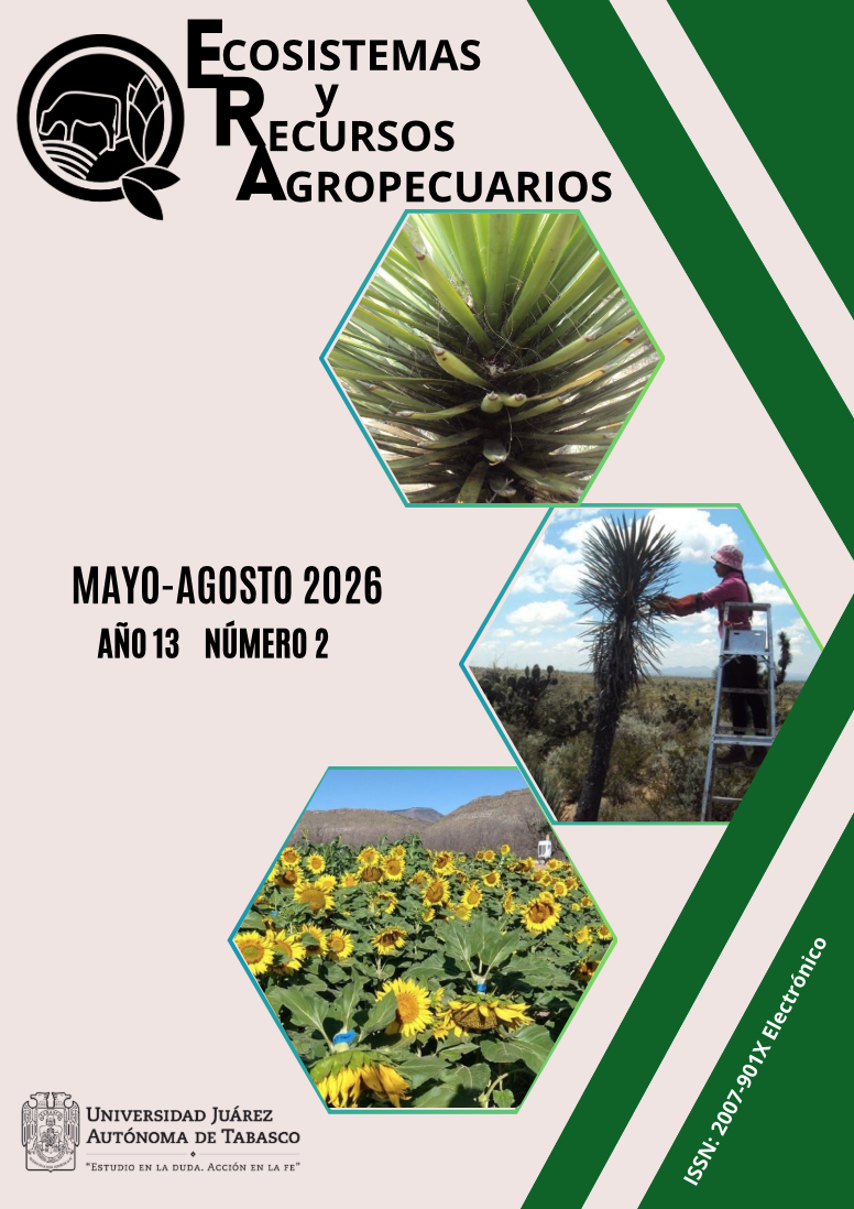
Fotografía superior: Follaje de Yucca sp. con presencia de insectos escama (Sternorrhyncha: Coccoidea) de las familias Pseudococcidae y Coccidae. Departamento de Suelos, Universidad Autónoma Chapingo. Colección fotográfica elizabethroddel@gmail.com
Fotografía de enmedio de la portada: Individuo de Yucca sp. con presencia de insectos escama (Sternorrhyncha: Coccoidea), en Matorral Xerófilo de Villa González Ortega, Zacatecas. Departamento de Suelos, Universidad Autónoma Chapingo. Colección fotográfica elizabethroddel@gmail.com
Fotografía inferior: Poblaciones experimentales de Girasol Alto Oleico (Helianthus annuus L.) establecidos en el campo experimental Buenavista, UAAAN, P-V 2022. Romeo Velasco Santiago. Universidad Autónoma Agraria Antonio Narro. romeovel20@gmail.com